

The navigation project aims to improve the navigation of people with visual impairments
Outdoor and Indoor Navigation Project
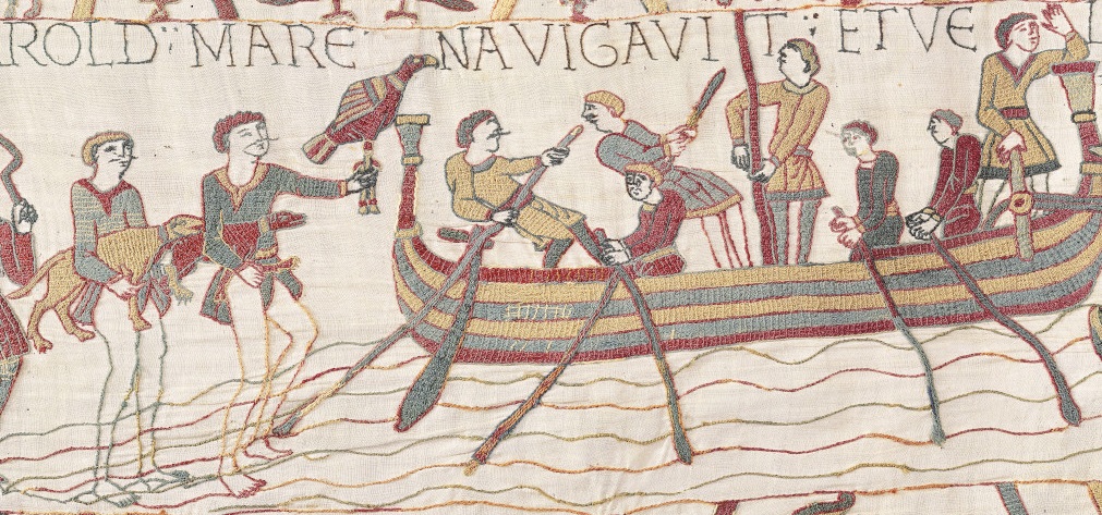
Navigation in the Museum of Bayeux Tapestry
The navigation project aims to improve the navigation of people with visual impairments For this it is divided into several modules:
- a module allowing the generation of a graph from a plan
- a module allowing to manually place points of interest on a map
- a module allowing navigation in a map
The route used in navigation has the following specificities:
- It can be multi-floor (by connecting 2 points of interest located on different floors)
- It can be defined in several sections subsequently
- It can have a modifiable resolution (zoom)
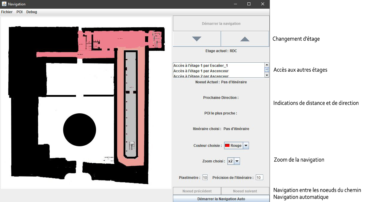
Navigation is centered on the user (ego-centered) by providing him with the necessary information:
- audio indication of the direction and the distance to the next stage (node of the navigation graph)
- preventive indication before crossing a door
- indication of the nearest point of interest